Database Anomaly Record The Account Physics Nuclear Map Key Docs Videos Archive The System Timeline Investigation

Nuclear Proximity Map

The investigation's geographic hypothesis: unexplained aerial encounters cluster around US nuclear weapons infrastructure—the labs that designed the bomb, the sites that built it, the fields that deployed it. If that hypothesis is correct, the PURSUE incidents should sit on top of that map. The US map below plots both layers on the same coordinates. The world map underneath shows modern overseas incidents and the geographic shift from nuclear sites to deployed US military forces abroad.
New here? Start with this

What am I looking at?

This is a map that tests a single idea: do UAP sightings cluster around nuclear weapons sites?

One of the oldest observations in this field is that unexplained objects seem to turn up near atomic infrastructure—the labs that designed the bomb, the bases that stored it, the silos that held the missiles. This map plots that infrastructure in one set of colors and every dated UAP incident from the collection in another, on the same coordinates, so you can judge the overlap for yourself.

How to use it: use the layer buttons to show or hide infrastructure and incident types. Use the Era filter to narrow to a specific decade and watch the geography evolve from nuclear-adjacent to overseas-military. Hover or tap any marker for details. Markers with a gold ring trace back to a primary-source file in the collection.
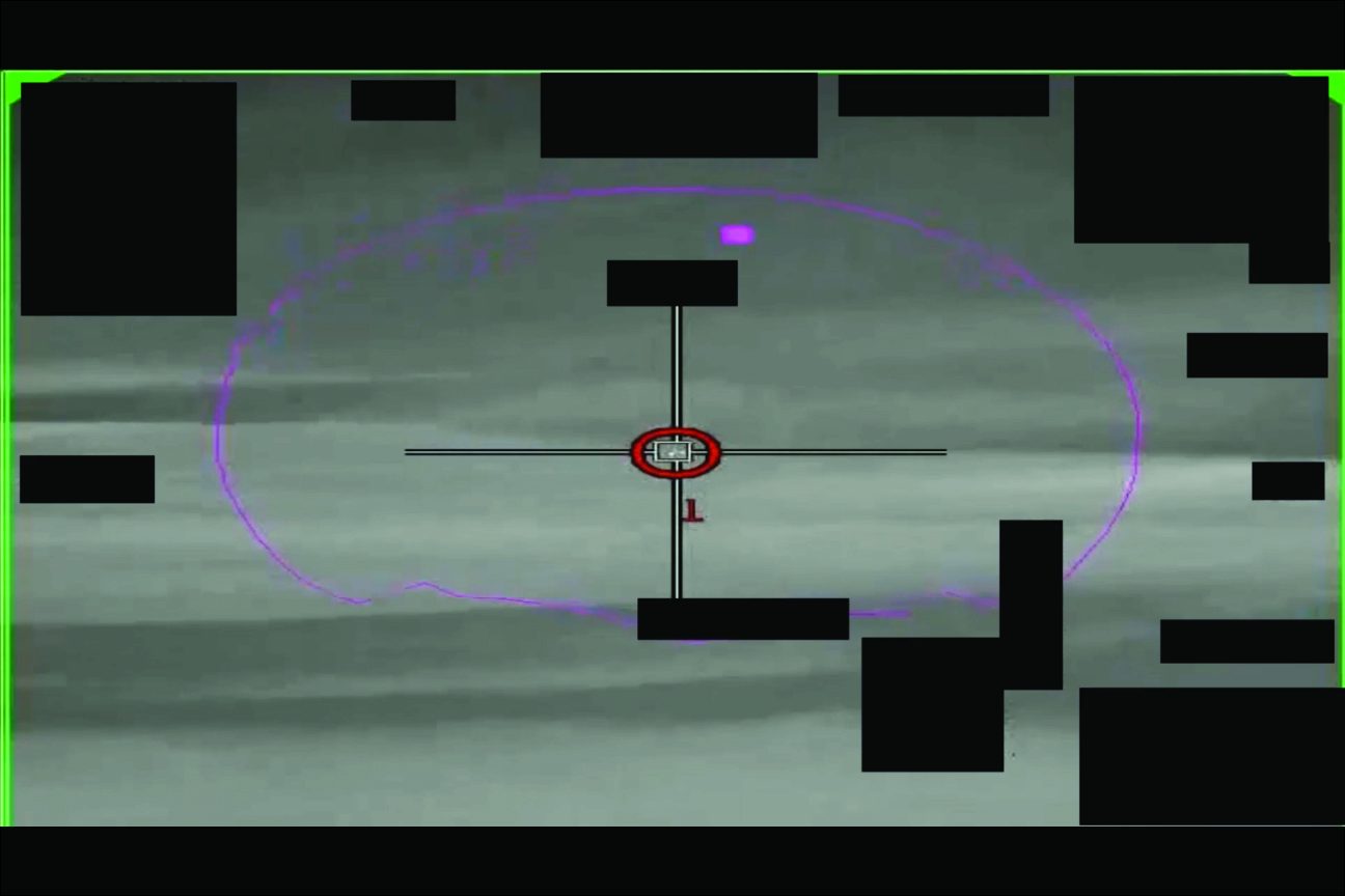
A declassified military sensor still from a UAP report, 2020.
A declassified military sensor still from a UAP report, 2020. Imagery like this is the modern half of the record; the historical half is 1940s government memos.
Infrastructure:
Era:

Continental US: historical UAP clustering on nuclear infrastructure

Reds and oranges are Manhattan-inheritor sites. Gold dots are the historical UAP incidents documented in the collection or in the corroborating record. Look at the Southwest cluster: Hanford up north, the entire New Mexico / West Texas weapons complex in the middle—Sandia/Kirtland, Trinity, Alamogordo, Roswell, White Sands all in one ring—and the 30 January 1949 sightings hitting every city in it on the same night.

World: where modern UAP incidents have been declassified to AARO

Modern DOW/DOD mission reports cluster around US deployed forces, not US homeland nuclear infrastructure: the Persian Gulf, Syria, Iraq, the Eastern Mediterranean (especially Greek operating areas), the Gulf of Aden, and the Indo-Pacific. The hypothesis still holds—the operational machine now points outward—but the observation geography has shifted from Hanford and Roswell to Bahrain and the Aegean.